Recent Blog Post
Daily Life At Santa Lucia Preserve
Daily Life At Santa Lucia Preserve
Read Post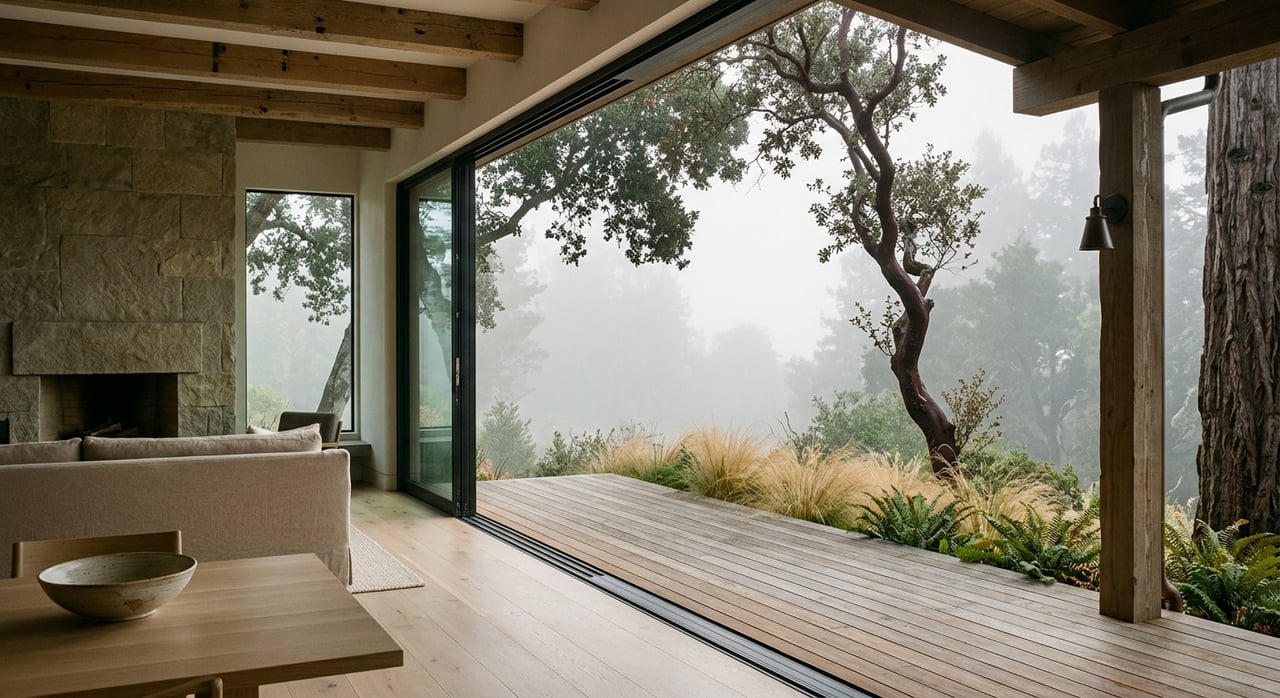
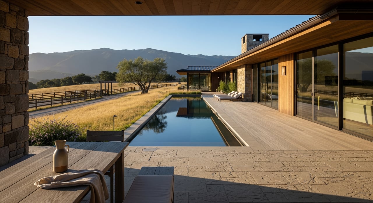
Experiencing The Big Sur Lifestyle From A Private Retreat
Experiencing The Big Sur Lifestyle From A Private Retreat
Read Post
Preparing To Sell A Home In Santa Lucia Preserve
Preparing To Sell A Home In Santa Lucia Preserve
Read Post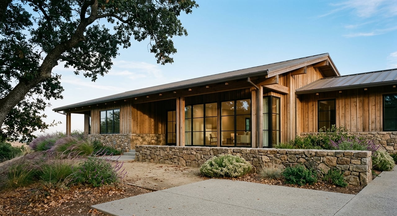
Reading The Monterey Luxury Market As A Bay Area Buyer
Reading The Monterey Luxury Market As A Bay Area Buyer
Read Post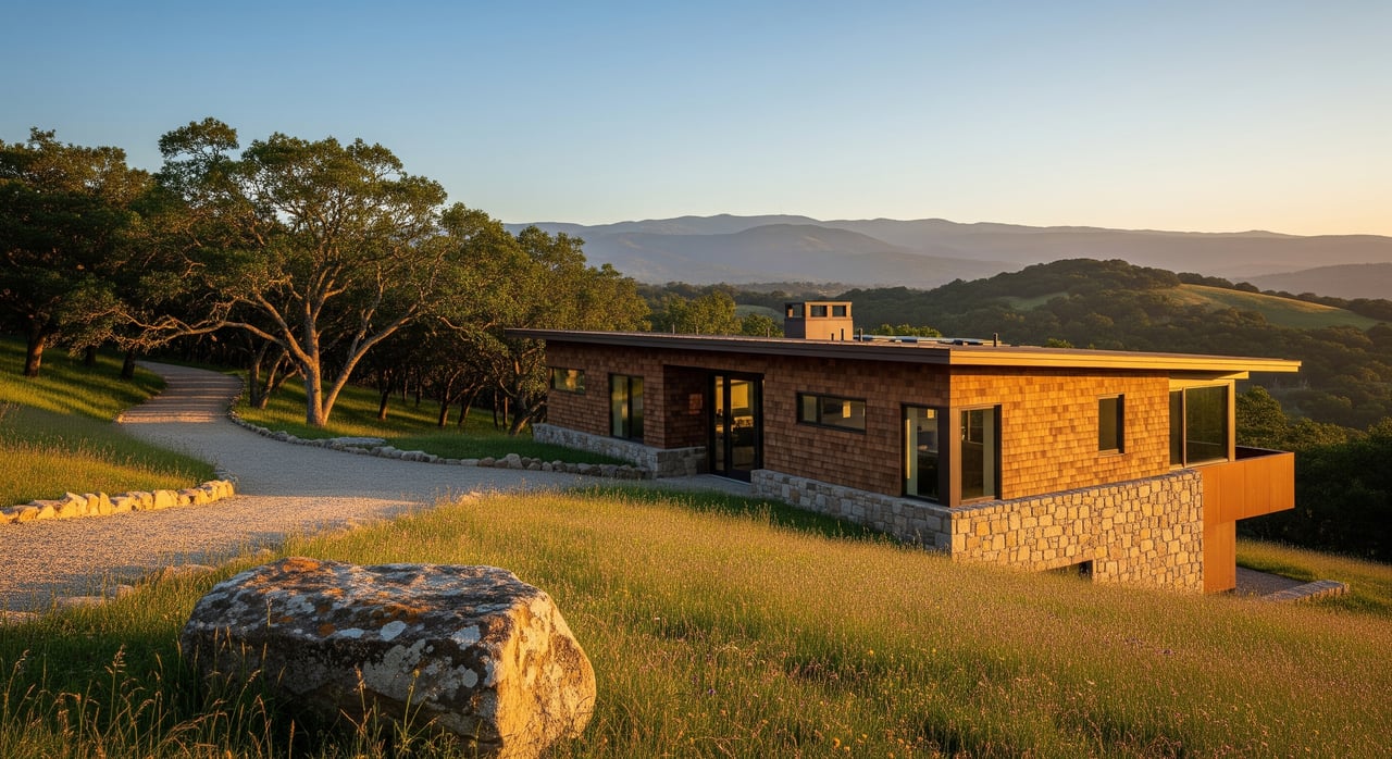
Choosing the Right Homesite at Santa Lucia Preserve
Choosing the Right Homesite at Santa Lucia Preserve
Read Post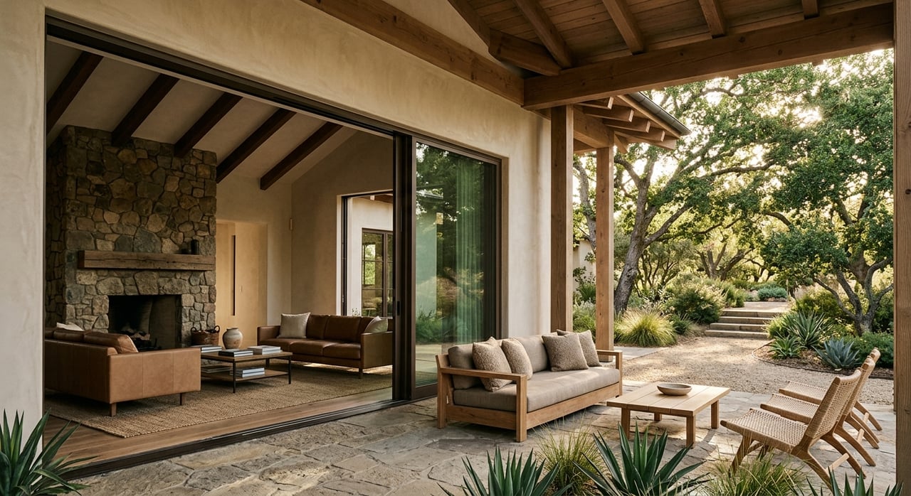
Choosing Between Carmel-by-the-Sea And Santa Lucia Preserve Retreats
Choosing Between Carmel-by-the-Sea And Santa Lucia Preserve Retreats
Read Post
Living In Monterey’s Historic Homes And Districts
Living In Monterey’s Historic Homes And Districts
Read Post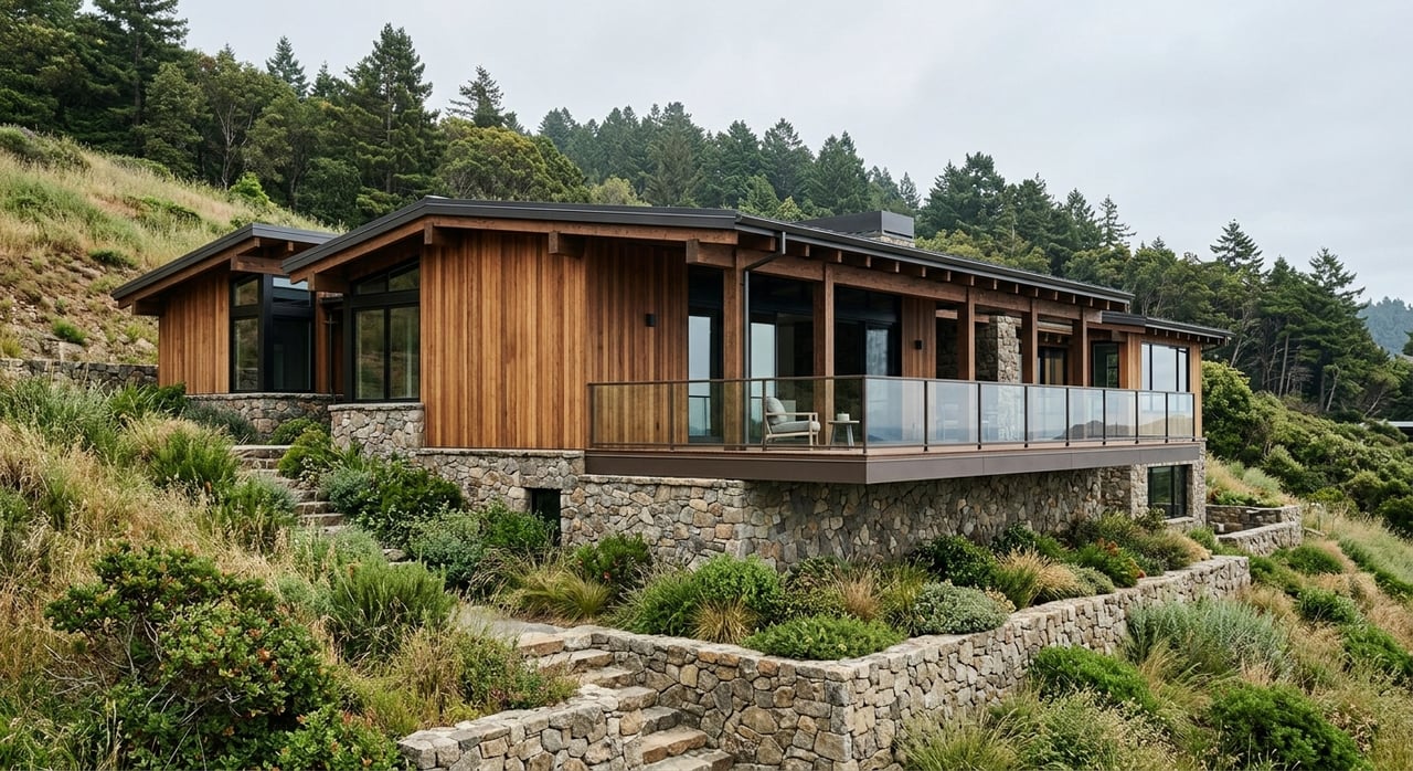
Designing A Home That Belongs In Big Sur
Designing A Home That Belongs In Big Sur
Read Post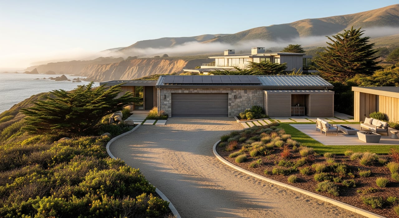
Big Sur Living: Access, Services and Daily Realities
Big Sur Living: Access, Services and Daily Realities
Read Post
Discreetly Marketing A Pebble Beach Oceanview Home
Discreetly Marketing A Pebble Beach Oceanview Home
Read Post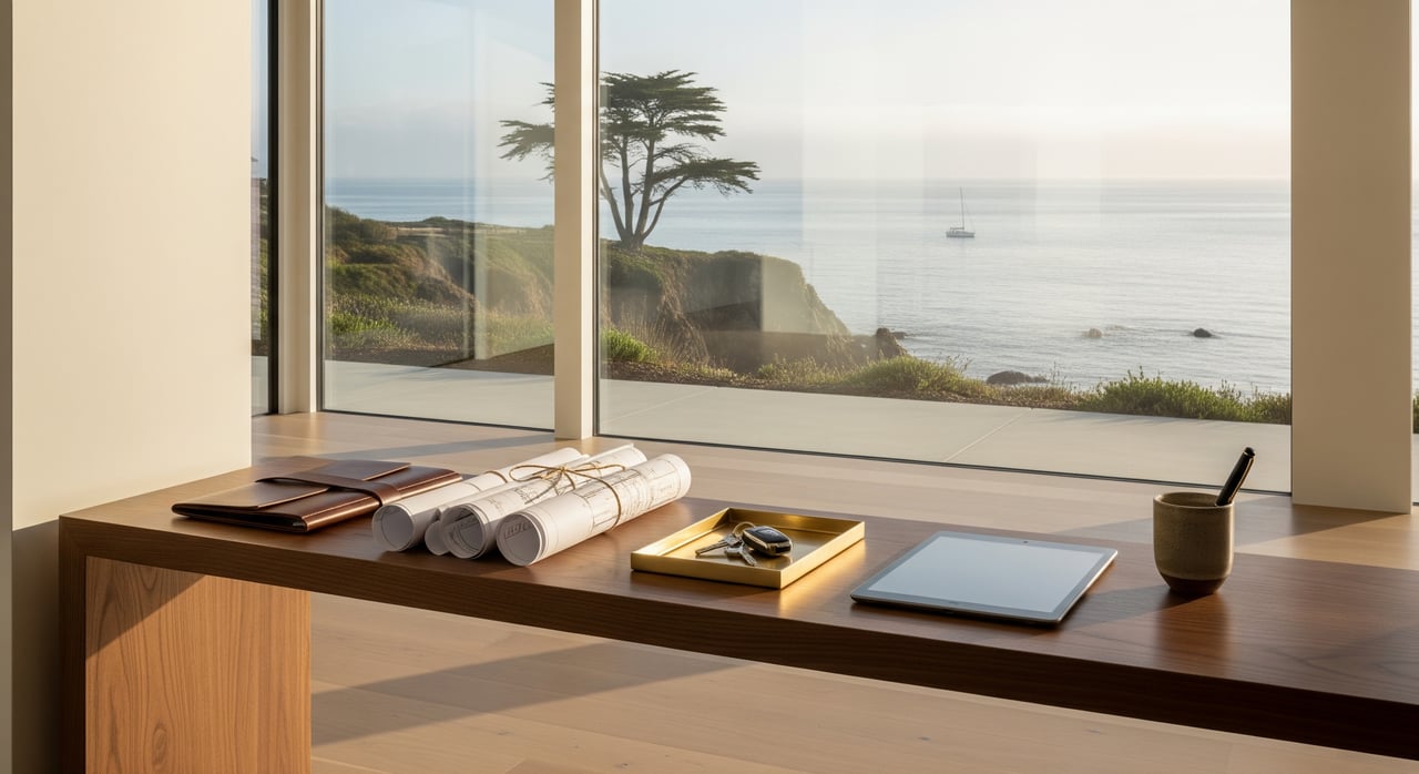
New To Monterey? Utilities, Permits And Services Setup
New To Monterey? Utilities, Permits And Services Setup
Read Post
A Buyer’s Guide To Golf Estates In Pebble Beach
A Buyer’s Guide To Golf Estates In Pebble Beach
Read Post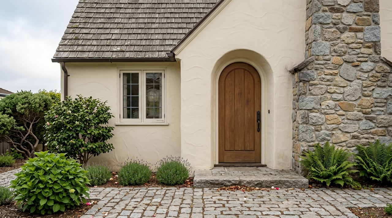
What It’s Like To Own A Cottage In Carmel-by-the-Sea
What It’s Like To Own A Cottage In Carmel-by-the-Sea
Read Post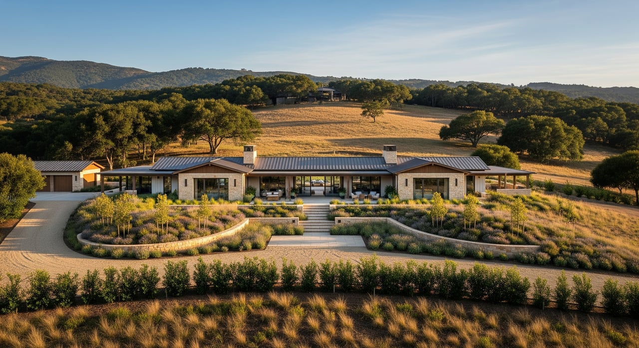
Conservation Easements in Carmel Valley: The Basics
Conservation Easements in Carmel Valley: The Basics
Read Post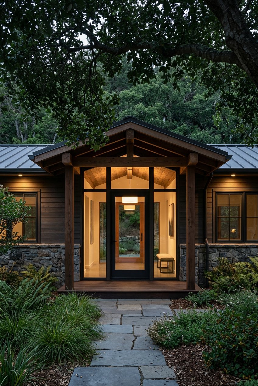
Selling A Legacy Ranch In Carmel Valley With Care
Selling A Legacy Ranch In Carmel Valley With Care
Read Post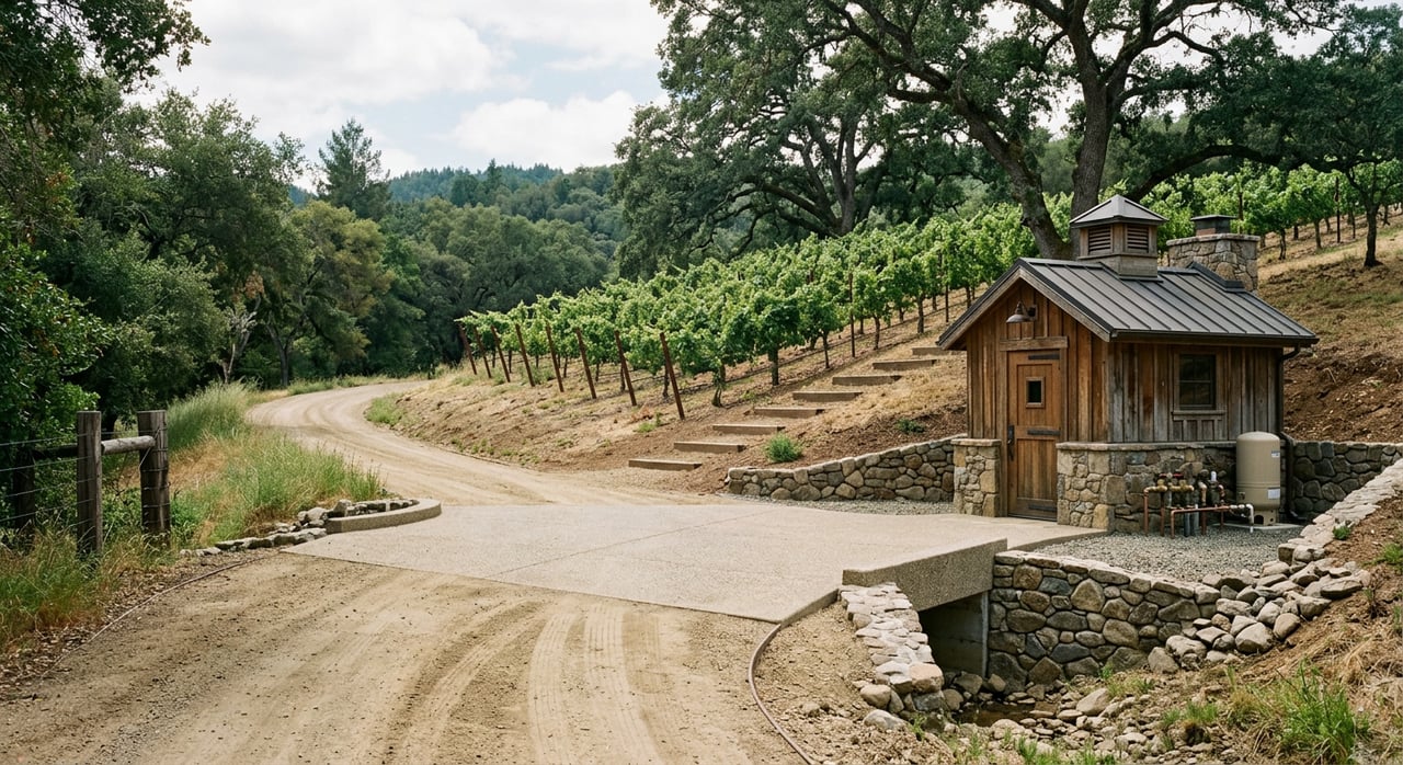
How To Evaluate A Ranch Or Vineyard Parcel In Carmel Valley
How To Evaluate A Ranch Or Vineyard Parcel In Carmel Valley
Read Post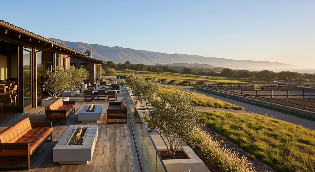
Understanding Membership And Amenities At Santa Lucia Preserve
Understanding Membership And Amenities At Santa Lucia Preserve
Read Post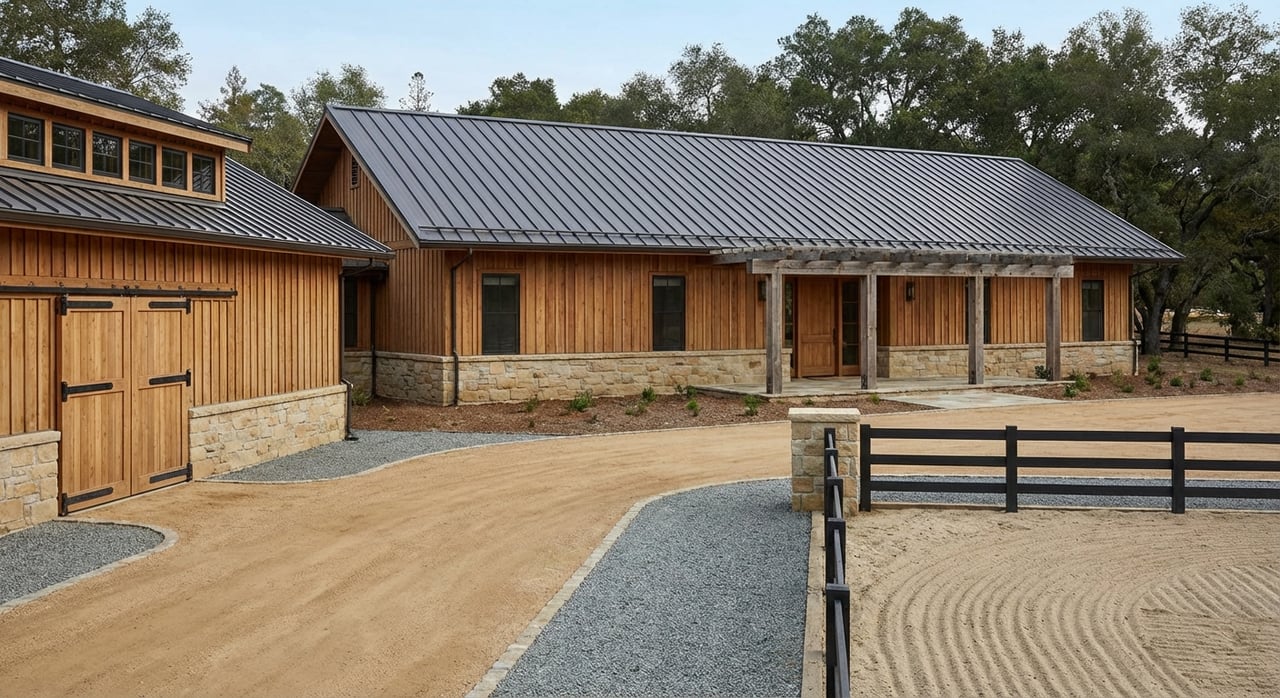
Equestrian Living In Carmel Valley
Equestrian Living In Carmel Valley
Read Post
Big Sur Coastal Development Permit: A Beginner’s Guide
Big Sur Coastal Development Permit: A Beginner’s Guide
Read Post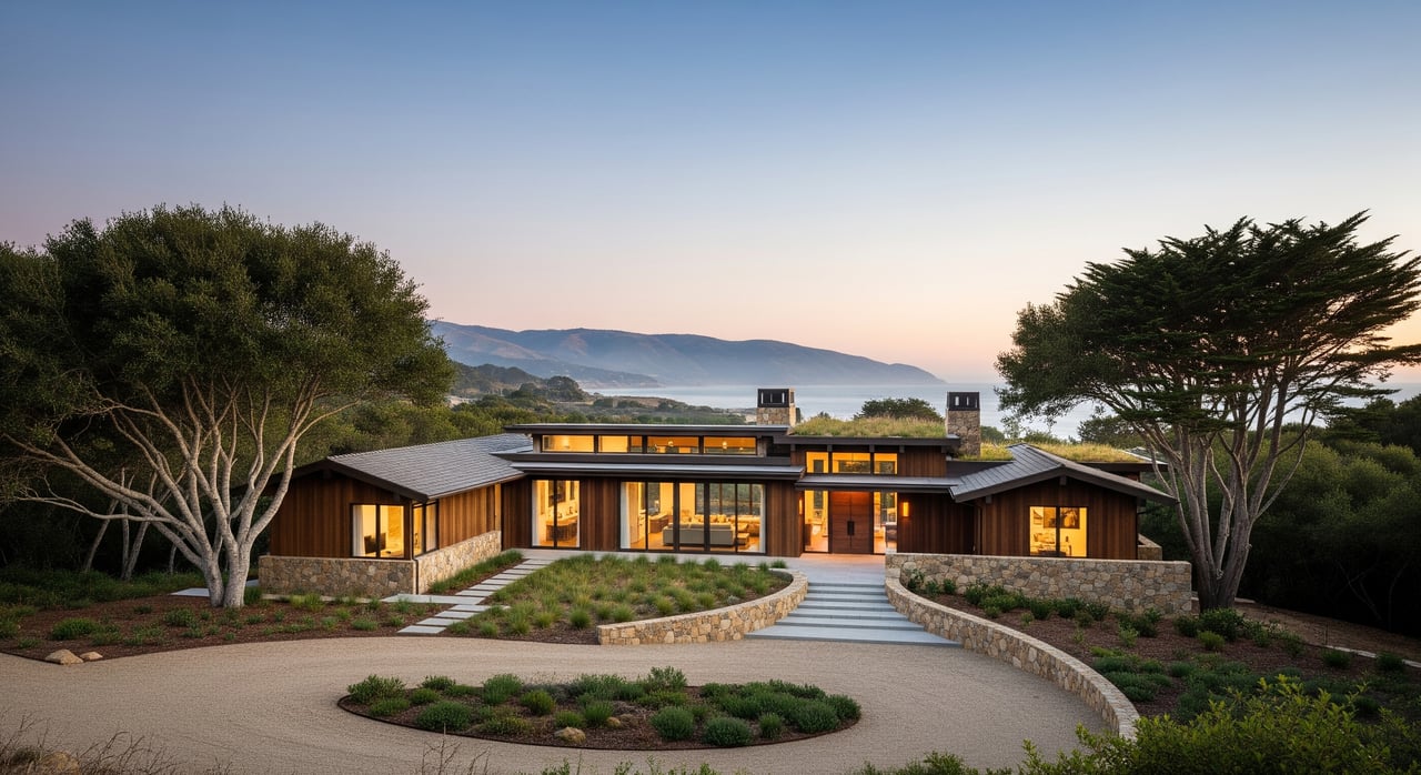
Building Envelopes at Santa Lucia Preserve Explained
Building Envelopes at Santa Lucia Preserve Explained
Read Post
Carmel Valley vs. Carmel‑by‑the‑Sea: Which Fits You?
Carmel Valley vs. Carmel‑by‑the‑Sea: Which Fits You?
Read Post
Exploring Backcountry - Alan Drew
Exploring Backcountry - Alan Drew
In any season, adventure is only a few steps away, but each season presents different advantages.
Read Post
Scenic Easements In Big Sur Explained
Scenic Easements In Big Sur Explained
Read Post
Architecture Styles That Define Carmel‑by‑the‑Sea
Architecture Styles That Define Carmel‑by‑the‑Sea
Read Post
Condo vs. House for a Monterey Second Home
Condo vs. House for a Monterey Second Home
Read Post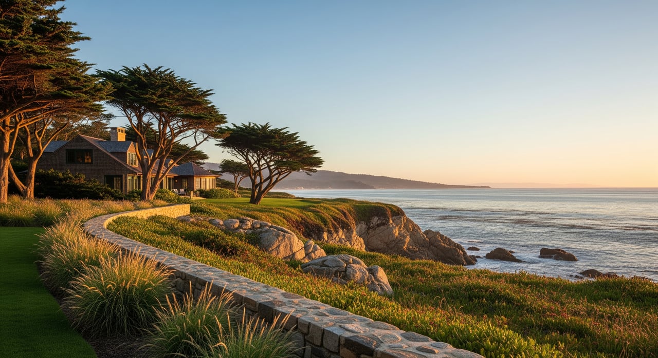
How To Evaluate a Legacy Parcel in Pebble Beach
How To Evaluate a Legacy Parcel in Pebble Beach
Read Post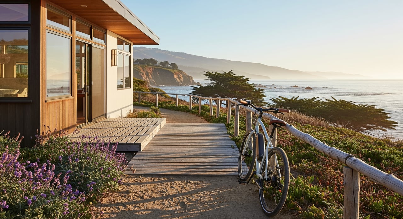
Car‑Light Living In Monterey Using The Coastal Trail
Car‑Light Living In Monterey Using The Coastal Trail
Read Post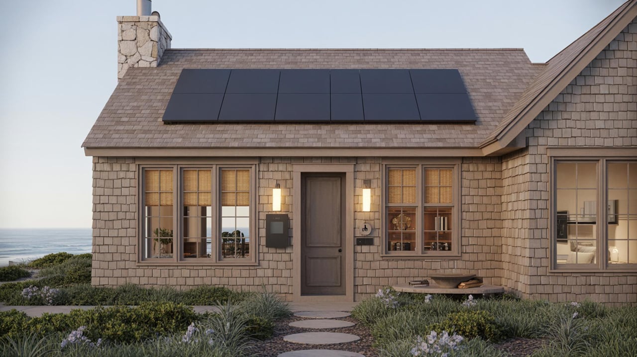
Smart Home Upgrades Every Carmel-by-the-Sea Homeowner Needs
Real Estate
Smart Home Upgrades Every Carmel-by-the-Sea Homeowner Needs
Essential Smart Home Upgrades for Carmel-by-the-Sea Residents
Read Post
What “Off‑Market” Really Means in Monterey
What “Off‑Market” Really Means in Monterey
Read Post
Choosing the Best Neighborhood in Carmel-by-the-Sea
Real Estate
Choosing the Best Neighborhood in Carmel-by-the-Sea
Discover Top Tips for Finding Your Ideal Community in Carmel-by-the-Sea
Read Post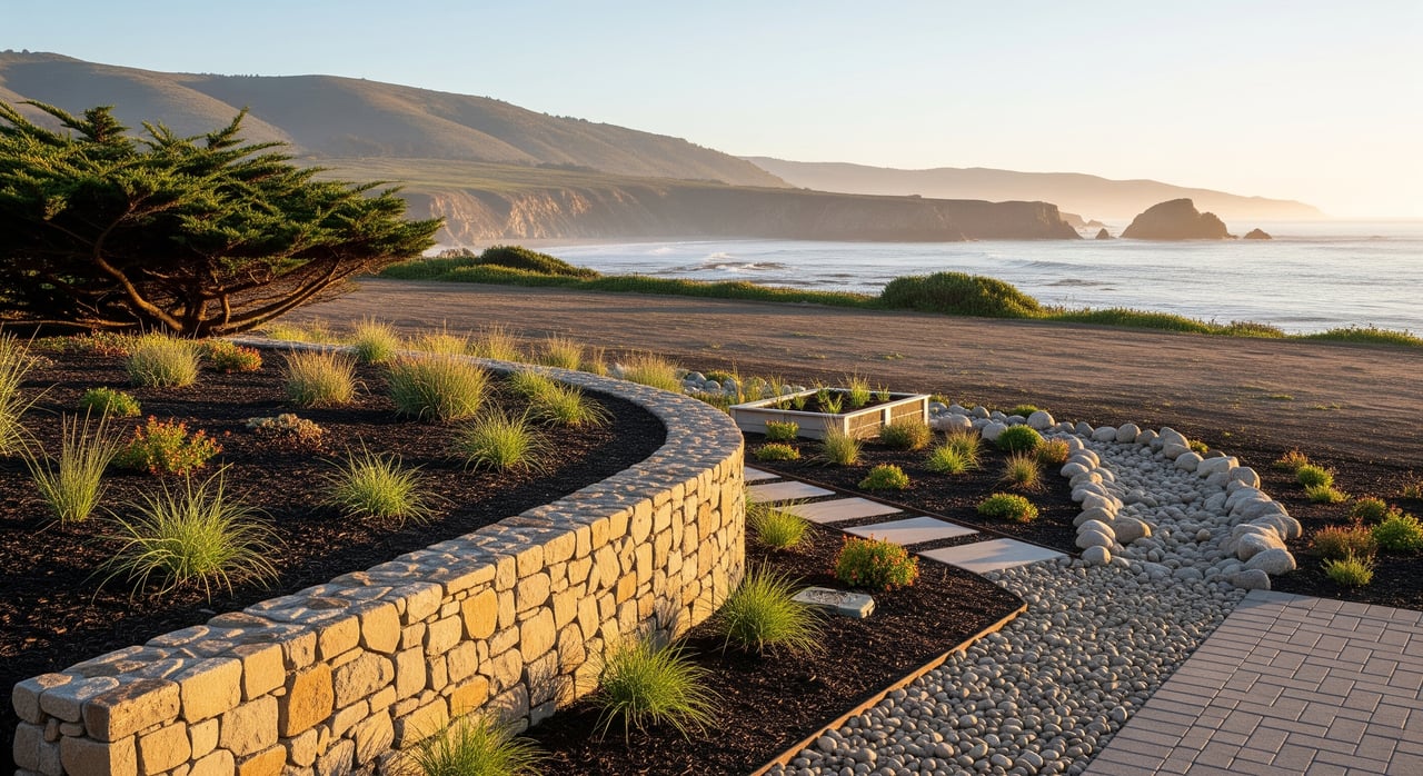
Coastal Drainage And Erosion Tips For Monterey Lots
Coastal Drainage And Erosion Tips For Monterey Lots
Read Post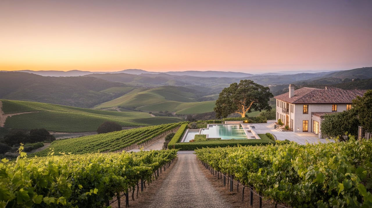
Top Outdoor Activities to Experience in Carmel Valley, CA
Lifestyle
Top Outdoor Activities to Experience in Carmel Valley, CA
Discover the Best Ways to Enjoy Nature in Carmel Valley
Read Post
How to Build Home Equity Faster in Pebble Beach, CA
Real Estate
How to Build Home Equity Faster in Pebble Beach, CA
Strategies to Boost Your Property's Value in Pebble Beach
Read Post
Unexpected Low-Cost Upgrades With the Highest ROI
Real Estate
Unexpected Low-Cost Upgrades With the Highest ROI
Maximize Your Home's Value in [City Name] Without Breaking the Bank
Read Post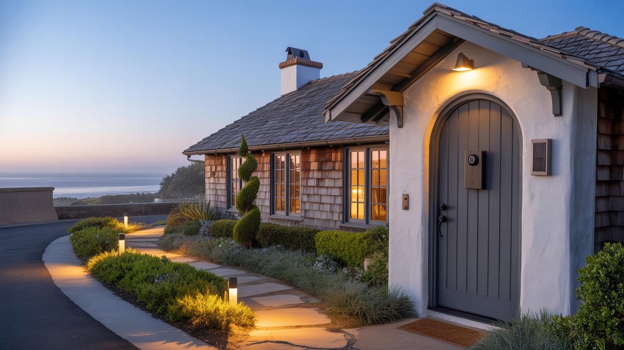
Essential Smart Home Upgrades for Carmel-by-the-Sea Homeowners
Real Estate
Essential Smart Home Upgrades for Carmel-by-the-Sea Homeowners
Practical Smart Home Upgrades to Boost Comfort, Security, and Energy Efficiency for Carmel-by-the-Sea Homeowners
Read Post
Key Questions to Ask During an Open House in Monterey, CA
Real Estate
Key Questions to Ask During an Open House in Monterey, CA
Essential Considerations for Homebuyers in Monterey
Read Post
Home Design Trends in Carmel Valley, CA
Real Estate
Home Design Trends in Carmel Valley, CA
Exploring the Latest Innovations and Styles in Carmel Valley Home Design
Read Post
Staging Tips for a Quick Sale in Pebble Beach, CA
Real Estate
Staging Tips for a Quick Sale in Pebble Beach, CA
Essential Home Staging Strategies to Attract Buyers in Pebble Beach
Read Post
Your Guide to Buying a Home in Pebble Beach, CA
Real Estate
Your Guide to Buying a Home in Pebble Beach, CA
Discover Essential Tips and Insights for Home Buyers in Pebble Beach
Read Post
What You Need to Know About the Big Sur Real Estate Market
Real Estate
What You Need to Know About the Big Sur Real Estate Market
Insights and Tips for Navigating the Big Sur Real Estate Scene
Read Post